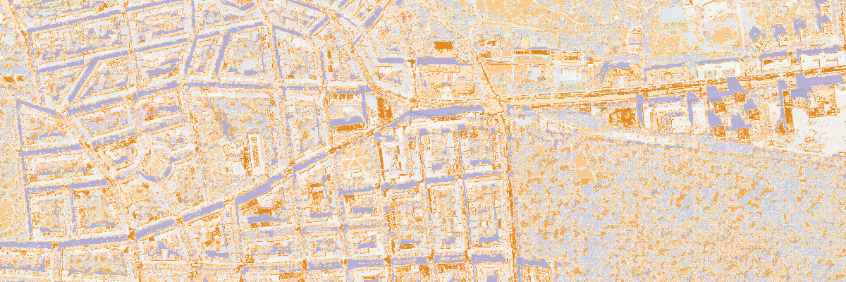
Imperviousness
In this tool you can click in any point in the Czech Republic and the tools will generate a 2 by 2 km surface indicating how impervious the surface is. It can be used for estimating the proportion of rain water that will infiltrate into the ground.
Aerial photographs collected and served by the Czech State Administration of Land Surveying and Cadastre are used in a K-means clustering algorithm to come up with the imperviousness class.
