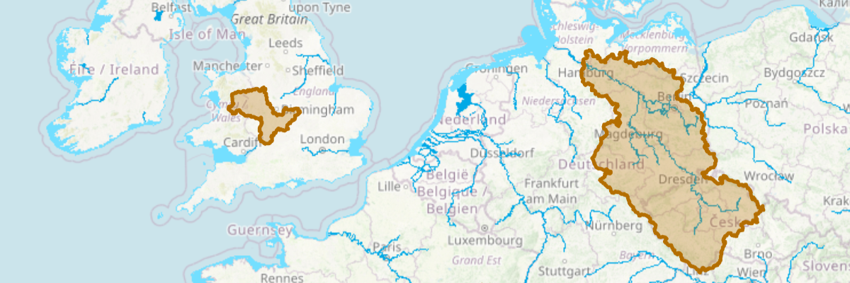
Hydrobasin
This tool allows you to get a basin (sometimes called catchment area) for a point around the world. All surface water from the basin flows through the selected point. The tools provides multiple snapping options to facilitate selection of basisns in the map.
The basins are derived from the HydroSHEDS Hydrobasin data.
The tool also shows an estimated human population in the selected catchment area. This value was derived by combining the HydroSHEDS flow direction grid and NASA's Gridded Population of the World datasets.
